
Yakima Address History Sources
One address can have several timelines. The deed trail identifies recorded interests. A city directory may list a householder or business. A census records a household at a fixed historical moment, subject to the federal release rule. Permits show work and named project roles. Maps reveal the block rather than the people. Use the table to choose an era, then compare records that answer different questions about previous residents.
| Source | Documented period | Where to use it | What it contributes |
|---|---|---|---|
| Auditor recorded index | August 1985 forward; images generally February 1997 forward | County online routes, Room 117, mail, and microfilm | Grantor, grantee, instrument, legal description, and recording facts |
| Local and state directories | North Yakima 1888; local run begins 1904; State Library runs from 1908 with gaps | YVL, State Library, online transcription, or appointment | Dated address, householder, occupation, business, and phone context |
| Federal census | Released schedules through 1950 under the 72-year rule | NARA and library genealogy databases | Household members, relationships, age, birthplace, and occupation for the census date |
| County permits | Documented from 1975 forward | County ACA, published lists, or department request | Project address, applicant, owner, contractor, status, and inspection chronology |
| Sanborn fire-insurance map | Verified Yakima set from 1920 | Library of Congress 87-sheet sequence | Building footprint, use, materials, street, alley, and block context |
| YVM newspapers and archives | Bound newspaper run 1890-1952; other series vary | Sundquist Research Library appointment | Obituaries, notices, photos, business papers, transport records, and drawings |
For a recent transfer, start with the Assessor and Auditor. For an early household, start with the exact directory year or census, then use maps and newspapers to test the address. Missing years must remain visible. A source gap is not proof that nobody lived there.
Anchor Yakima Previous Residents
The present parcel is the stable starting point. Search the Yakima County Assessor by situs address, then save the parcel number, abbreviated legal description, situs city, owner display, excise transactions, and segregation history. A parcel is a county land unit, not a promise that the same street address existed in every year.
Keep an address identity card for the property. Include the original source spelling, a normalized street form, current postal label and ZIP, parcel number, city or county jurisdiction, legal description, possible old street name, and confidence in the crosswalk. Do not merge the taxpayer mailing address with the site's physical address. A trust, estate, public body, or representative may receive mail far from the parcel.
Lot splits and mergers need special care. The Assessor Segregations tab and recorded plats can explain why an older transfer appears under a parent parcel. Record the plat name, lot, block, phase, and recording reference before moving further back.
Trace Yakima Deeds Backward
The Yakima County recorded-document research page links to the current search products and explains the office fallback. Start with the latest credible deed tied to today's parcel or legal description. Search both sides of every transfer because the index is organized around named parties and documents, not a modern street directory.
- Read the current Assessor card. Save the owner display, parcel number, legal description, and any excise transaction clue.
- Find the likely purchase deed. Confirm its recording number, type, date, grantor, grantee, legal description, parcel, and image status.
- Take the seller, or grantor, and search that party as a grantee in earlier years. Match land facts, not the name alone.
- Repeat the search. Follow estates, trusts, companies, spouses, representatives, and document types without assuming that each party occupied the address.
- At the index boundary, move to Room 117, microfilm, deed books, plats, or an archive referral. Mark the gap instead of guessing.
Search terms may include grantor, grantee, recording number, document type, parcel, and date range. A street address may not be the index key. An easement can explain access; a reconveyance can close a deed of trust; an assignment can move an interest. None necessarily identifies a past household.
- Grantor
- The party transferring a recorded interest.
- Grantee
- The party receiving that interest.
- Chain of title
- The linked sequence of recorded interests affecting the same land.
- Legal description
- The formal land description in a deed or plat. It can remain useful after street labels change.
Yakima Deed Images Have Boundaries
The Auditor reports electronic indexing from August 1, 1985. Documents from February 23, 1997 forward are generally imaged. Earlier indexed documents may point to microfilm, and work before 1985 needs office, archive, deed-book, plat, or title research. This layered access explains why an online search may identify an instrument without providing its image.
The county offers several channels. Occasional users can follow the official research page to its vendor route. High-volume access uses a subscription product, while unlimited office research is available in Room 117. Copies may be requested online with card payment, by mail to the Yakima County Auditor, or in person. The research file reports ordinary copies at $1 per page and certified copies at $3 for the first page plus $1 for each extra page; confirm current fees before ordering.
The official recorded-document research page appears below. It is the best stable entry when vendor links or interface controls change.
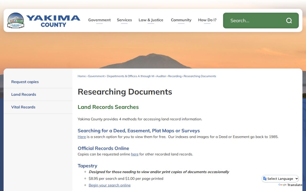
Use the recording number from an index result in a focused image or copy request. The image, not a shortened result row, reveals the document's complete parties and land description.
Separate Yakima Owners and Occupants
A defensible house timeline uses three columns: recorded owner or deed party, directory or census occupant, and permit or business user. Never collapse them. An owner may live elsewhere. A directory entry may be a workplace. A permit applicant may be a contractor. A deed return address can belong to the person who prepared or requested the recording.
| Role | Best evidence | Safe conclusion |
|---|---|---|
| Recorded interest | Deed image and legal description | The named party held or transferred the stated interest on that date |
| Listed occupant | Dated directory or census schedule | The source associated the person or household with the address at that time |
| Property project | Permit or inspection record | The named person had the displayed applicant, owner, contractor, or contact role |
| Reported life event | Obituary, cemetery, vital index, or probate file | The source reports the event and relationship shown, subject to verification |
This distinction makes a search for previous residents more accurate. It also creates clear stopping points. When the next record no longer links to the parcel, mark an unresolved question and seek a plat, deed book and page, probate file, or archive series.
Pair Yakima Directories and Census
Directories can bridge the years between public census schedules. Yakima Valley Libraries points to an 1888 North Yakima transcription and local directories beginning in 1904. The State Library identifies Yakima and county runs from 1908 onward with gaps. The Yakima city directory collections are described in detail separately; for a house trail, pull only the volumes that test a specific address and year.
Use a directory-year ladder instead of implying a continuous run:
- Write the address exactly as it appears in the deed, permit, map, or earlier directory.
- Choose directory years immediately before and after the target census. Search by street or reverse section where the volume supports it.
- Transcribe the listed name, spouse marker, occupation, business, address, and abbreviation marks. Save the title, year, and page.
- Find the census enumeration district, then read nearby households and street lines. Do not rely only on a surname index.
- Compare the two sources. Treat a spelling, job, age, or family relationship as corroboration, not sole proof of identity.
An enumeration district is the geographic area assigned to a census taker. A criss-cross directory is arranged by address or phone rather than solely by surname. Both tools help when an address is known but a name is not.
View Yakima Blocks in 1920
The verified Library of Congress Sanborn set contains 87 Yakima sheets from 1920. These fire-insurance maps can show footprints, uses, construction details, streets, alleys, hydrants, warehouses, and vacant spaces. They do not name all previous residents. Their value is structural context: a place treated as a house today may have had a different footprint or use.
First identify the historical sheet and block. Save its original street text and sheet number. Then find the modern parcel in CityMap or County GIS. Compare building shape, lot boundaries, alley position, and street alignment. Any crosswalk is an interpretation unless a deed, plat, or official address record confirms it.
The maps can also explain why a directory entry disappears. A building may have been removed, a lot may have changed, or the address may refer to a commercial use. Pair the map with a dated directory and deed rather than making the map carry a claim it cannot support.
Build a Yakima Permit Chronology
County permit records are documented from 1975 forward. The ACA route and weekly or monthly lists cover work across building, fire, health, planning, roads, and water resources. City SmartGov handles city permits, land-use applications, inspections, notices, plans, and status information. Search both the address form and parcel number when punctuation or old labels block a result.
Place permit events beside the owner and occupant timelines. Record application number, date, project description, status, inspection dates, and every name with its displayed role. Building dates and alterations can clarify a gap, but an application does not prove that its applicant lived at the property.
Historic-register pages add selected properties, original owners, building dates, parcel identifiers, and current owner mailing details. They are curated records, not a citywide house index. Naches Avenue materials can add development context for that area without establishing each household.
Ask Yakima Archives Precisely
No standalone official Yakima house-history guide was found. The documented substitute is a focused appointment or archival request. Yakima Valley Libraries provides local directories, maps, newspapers, yearbooks, genealogy tools, and the Northwest Reading Room. The Yakima Valley Museum's Sundquist library holds photographs, oral histories, clipping files, business papers, transport records, newspapers, and architectural drawings.
Send staff the street and number, parcel, date range, former owner or occupant, alternate spelling, old street name, and the kind of source sought. Ask for a title, year, page, sheet, series, box, folder, or catalog identifier. That is more useful than asking for everything about a house.
The library's Washington cities and counties collection is shown below. It connects the early North Yakima source with later local holdings.
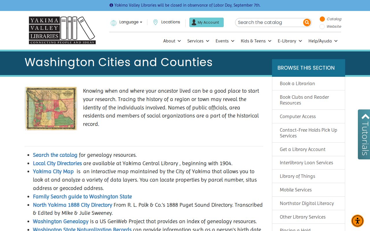
The linked source is a finding aid. Verify a person's entry against the volume or source image when possible.
Crosswalk Old Yakima Addresses
Historical sources may use North Yakima, Yakima City, Yakima, or a wider county label. A directory can also include valley places beyond the incorporated city. Preserve what the source says before assigning a modern jurisdiction. USPS label changes in 2020 can make older mailed records look inconsistent with current output, especially around the 98902/98903 and 98907/98909 groups.
No official source in the research established one citywide Yakima renumbering year. A 2012 A Street renaming application proves only that a proposal was received, not that a final name took effect. Test each old address through ordinances, plats, directories, Sanborn sheets, Assessor legal descriptions, and a narrow city records request.
Address-history rule. Keep the old label visible and state the evidence for every modern parcel crosswalk instead of silently correcting it.
Close Yakima Resident Trails
Obituaries, cemetery records, and probate can explain where a household trail ends. Tahoma Cemetery's city database begins with a last-name search, while its map and Digital Archives index provide related but not identical evidence. A cemetery result can offer dates and interment context. It does not prove that the person once lived at the searched address.
Use dates and spelling from the cemetery result to narrow YVL or YVM newspaper work. Then compare the obituary's family, occupation, and place details to a directory entry. For probate, the Yakima County Clerk is the Superior Court file custodian. Some case types and documents are confidential or sealed, and a living person's will deposited since 2004 is not public.
Early court research carries a specific gap. An 1882 courthouse fire destroyed the District Court records then held. Surviving civil and criminal series are partial, while hard copies are held at the Central Regional Archives and microfilm is available at archival branches and the County Clerk. A missing early probate or court hit must not be treated as proof that no event occurred.
Use Previous Residents Lawfully
Past households are best represented as dated evidence, not as one merged personal profile. Put source role beside every event: assessor snapshot, excise clue, deed instrument, permit application, directory listing, census schedule, newspaper report, cemetery entry, or probate context. Add the source URL and record number, page, sheet, or case identifier where available.
Commercial people-finder products may mix old addresses, namesakes, and relatives without revealing the source date. For house history and family research, official or archival records give clearer custody and limits. They also make it possible to correct an error or request the actual record.
Lawful use. Research previous residents for family, estate, property, or local history, and never use an address trail to stalk, harass, threaten, or track a living person.
A strong final timeline can still contain unknown years. Mark each break, show what was checked, and stop when a name no longer connects to the same legal description or parcel history. Honest gaps protect the integrity of the entire Yakima address trail.