
Sources for Yakima Neighbors
Public sources describe a Yakima block from several angles. County GIS locates adjacent parcel numbers. The Assessor shows the owner and mailing fields attached to each parcel. CityMap adds city jurisdiction and planning layers. Recorded plats and easements can explain shared access, while permit files mark projects. Voter records are subject to strict field and use limits. None creates a complete or current roster of neighbors.
| Source | What It Shows About a Block | Access |
|---|---|---|
| Yakima County Parcel Viewer | Parcel shape, adjacency and map context | Free online viewer |
| Yakima County Assessor | Owner display, situs, mailing and parcel facts | Free online search or office |
| CityMap | City parcel, jurisdiction and planning overlays | Free online map |
| Auditor recorded documents | Plats, easements, deeds and legal descriptions | Online index, vendor image, mail or Room 117 |
| Permit and historic sources | Projects, dates and selected block history | City, county, library or archive |
The most important split is owner versus occupant. A tax mailing address may belong to a trust, estate, representative, or owner who lives elsewhere. A permit applicant can be a contractor. A deed party may never have occupied the parcel. Label those roles instead of converting them into claims about who lives nearby.
Start with the source that answers the smallest question. Use GIS to identify land, the Assessor to read a parcel record, the Auditor to inspect a recorded interest, and a permit office to confirm a project. Historical maps and directories add time depth. Community groups offer public contact channels. Keeping each source in its lane produces a useful block study without compiling private people.
Open Yakima's Parcel Viewer
Search the known address in the Assessor first and save its parcel number. The Yakima County Parcel Viewer then shows the polygon and the lots touching it. Click each surrounding polygon, record its parcel number, and return to the Assessor for its separate detail. This avoids assuming that one map label describes the whole block.
The county's live viewer provides the visual starting point for neighbor research.
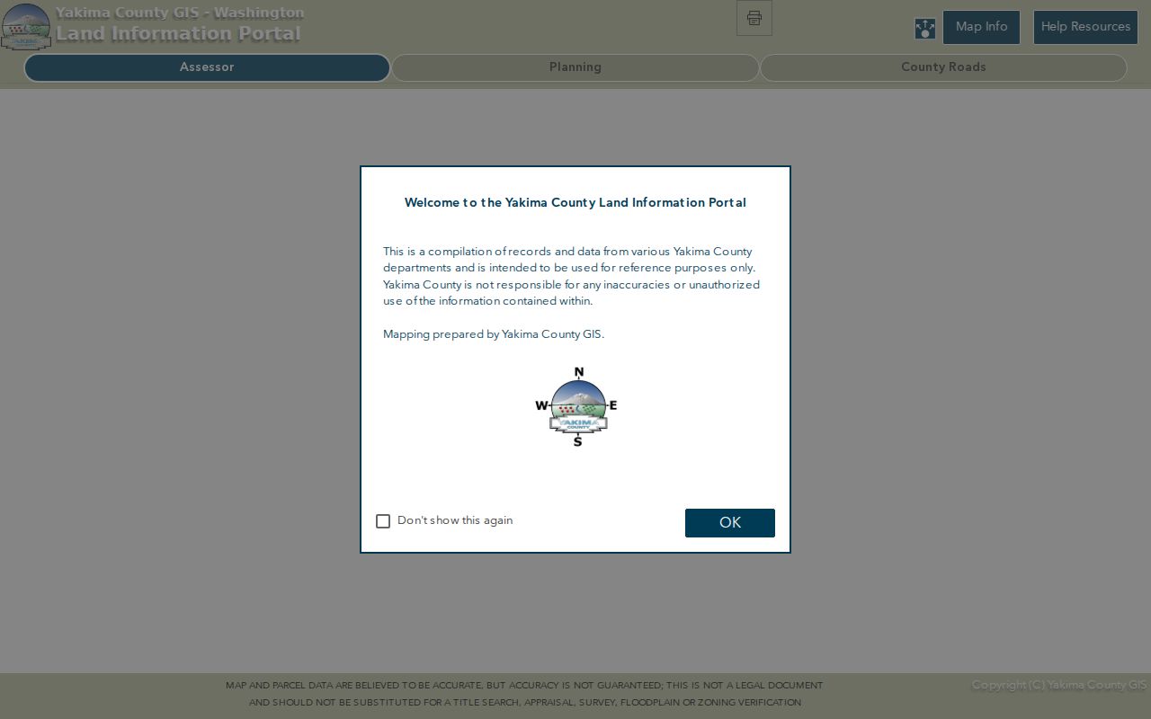
Map boundaries are discovery aids and can change. They are not surveys, person records, or proof that an owner occupies the parcel.
Save the parcel number, abbreviated legal description, tax-code area, and date checked. Those fields are more stable search pivots than a casually formatted address. If the map and Assessor disagree, ask the County Assessor or GIS office which record was last updated. Do not adjust a boundary yourself or treat the screen as the legal description.
Map a Yakima Neighbor Block
A compact process keeps the immediate block separate from a whole-street search. Preserve the original address text, then create a search form with abbreviated street type and no punctuation. Save every parcel number before looking at names.
- Locate the starting address in the Yakima County Assessor and carry its parcel number into the Parcel Viewer.
- Click only the parcels that share an edge, corner, alley, or access way with the starting lot.
- Search each parcel separately in the Assessor. Compare situs and mailing fields without calling either proof of occupancy.
- Check CityMap for jurisdiction and planning layers, then use the Auditor when a plat or easement affects the relationship.
When the task expands beyond the immediate block, use the Yakima street directory method for the full named-street record chain.
The block should have a clear stopping point. Include parcels that touch the starting lot or share a documented alley or access way. Do not keep expanding merely because the map can pan farther. A tight scope makes it easier to check each record and reduces the chance of joining unrelated owners from the same street name.
Compare Yakima Neighbor Addresses
Yakima property research uses several address types. The situs is the physical location of the parcel. The mailing address is where tax or owner correspondence goes. USPS supplies a postal delivery label. A deed may rely on a lot-and-block or metes-and-bounds legal description. Old sources may use North Yakima or a historic street label.
- Situs address
- The physical address assigned to the parcel.
- Mailing address
- The destination used for owner or tax correspondence.
- Parcel
- A mapped unit of land with an assessor identifier.
- Plat
- A recorded map that divides land into lots, blocks, roads, and easements.
The source set did not confirm a Yakima homestead indicator that safely proves owner occupancy. Even when situs and mailing match, record the date and role rather than calling it a confirmed household.
Legal descriptions can outlast street names. A lot-and-block description identifies land within a recorded subdivision. Metes and bounds describes boundary calls and may cross more than one modern address. When a corner lot has two visible numbers or a parcel was split, use the Assessor's segregation details and the recorded plat before deciding which address belongs to which shape.
Layer Yakima CityMap Records
CityMap is useful after parcel discovery. Its parcel search, identify tools, and planning overlays help show whether the block is inside the city and which local rules may apply. The city warns that layers may be incomplete or out of date. County GIS and the Assessor remain separate checks.
A boundary line explains jurisdiction, not identity. One side of a road may route a permit question to the city while another parcel belongs with a county department. Record the layer name and the date viewed. If legal boundaries matter, ask the responsible office for the controlling record rather than relying on the screen alone.
Planning overlays can explain why nearby parcels have different setbacks, uses, or review histories. They should not be used to label the people connected to those parcels. The map's identify and measure tools provide context, while the permit record supplies the dated application. This distinction is especially useful near the incorporated edge, where a Yakima postal label may cover land outside city government.
Read Yakima Shared Parcel Records
Neighbors can share an alley, driveway, utility corridor, plat restriction, or right of way without sharing ownership. Search the County Auditor's recorded-document index with the parcel, legal description, grantor, or grantee. A plat may preserve a subdivision name after street labels change. An easement can identify access rights without saying who occupies either lot.
Yakima's index generally reaches back to 1985, with most images from February 23, 1997 forward. Material from August 1, 1985 through that imaging date is electronically indexed with microfilm. All material can be researched in Room 117. Search a transfer in both grantor and grantee directions and keep the recording number for an image or copy request.
One parcel may have several relevant documents. A deed transfers an interest. A reconveyance may close a deed of trust. An assignment can move an interest without changing who uses the land. Liens and judgments may name people who never lived there. Read the document type and legal description before linking it to Yakima neighbors.
Add Yakima Block History
Permits add project dates and uses to the parcel picture. County permit records are documented from 1975 and can include building, fire, health, planning, road, and water-resource tabs. City SmartGov handles city permits, land use, inspections, notices, plans, and status. Keep owner, applicant, contractor, and contact fields separate.
For an older block, the verified 1920 Sanborn map has 87 Yakima sheets. It can show footprints, materials, stories, alleys, hydrants, and prior street labels. It cannot name today's neighbors. The 1888 North Yakima directory, later local directories, historic-register entries, maps, and newspapers can add dated context without turning a historical source into a current resident list.
A historic-register property table can include a site address, parcel, owner display, mailing field, building date, or original owner. Its coverage is selective. Use it for the named property only. The Yakima Valley Museum and Yakima Valley Libraries can help with maps, photographs, newspapers, and yearbooks by appointment when a block needs context beyond the online systems.
Meet Yakima Neighbors Lawfully
Public records are not the best tool for every community question. Yakima's Neighborhood Development Services is the documented city channel for neighborhood support and local development work. The research did not confirm a public citywide roster of neighborhood associations, HOAs, congregations, block-watch members, or residents. Ask a named group for its public contact point instead of seeking a private member list.
The city service is described at Yakima Neighborhood Development Services.
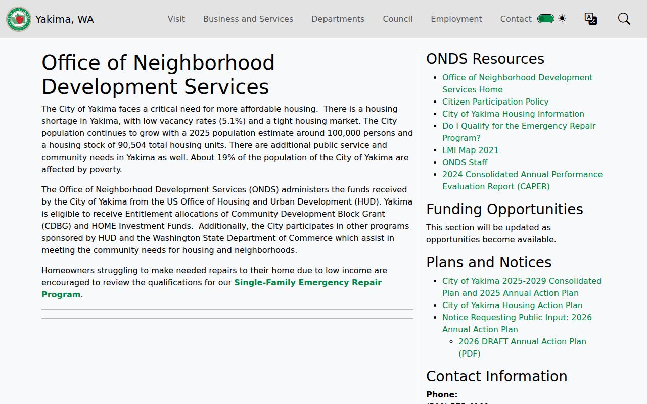
This public-facing city resource supports contact through civic channels while respecting the lack of a verified public neighborhood roster.
A practical outreach note should name the block or project, give a public reply method, and avoid posting anyone else's address or contact details. A neighborhood group may publish officers or a general email, but that does not make its membership list public. Ask the group what it chooses to share and follow its access rules.
Compare Yakima Neighbor Tools
Official rolls and compiled commercial tools answer different questions. The public custodian states the field, date, jurisdiction, and correction route. A commercial profile may blend old sources, hide provenance, or join people who share a name. Neither should be treated as a live household census.
| Source type | Strength | Main limit |
|---|---|---|
| Assessor and GIS | Parcel identity, owner display and adjacency | Ownership does not prove occupancy |
| Recorded plat or easement | Legal lot and shared-access evidence | May not name current users |
| Permit or historic source | Dated project or block context | Applicant and past listing are not current residents |
| Commercial compilation | Possible lead across mixed sources | Provenance, date and identity may be unclear |
Use the least intrusive official source that answers the question. Stop once the parcel, record role, or public contact channel is clear.
Official sources also provide correction routes. An assessor can address parcel-record questions, a recorder can locate a document by instrument number, and planning staff can explain the status of a map layer or permit. A compiled service may not reveal which source supplied a claim or when it changed. Provenance matters more than the number of profile fields shown.
Privacy for Yakima Neighbors
Public parcel data does not disclose every occupant, family member, guest, or person who receives mail. Utility customer details are generally exempt under RCW 42.56.330(2). Washington's Address Confidentiality Program uses substitute addresses for eligible participants, and voter, vital, juvenile, health, driver, and court records have their own restrictions.
Do not publish a block roster or use parcel geometry to infer private relationships. A voter file is a regulated civic record, not a neighbor directory, and RCW 29A.08.720 restricts its use. Correct an assessor or map error with the source office. Date each result because ownership, boundaries, and registration can change.
VoteWA is designed for an identifiable registration check using first name, last name, date of birth, and verification. The county's public-data request can provide authorized fields and district filters under its terms. Neither route should be used to fill perceived gaps in an occupant list. Protected voters and Address Confidentiality Program participants require special care.
A map no-match also deserves a careful label. It may reflect punctuation, an abbreviated street type, a recent split, an older street name, or a mismatch between postal and jurisdiction labels. Keep the original address, try a shorter Assessor query, and search a nearby parcel before contacting the office. Never insert a guessed ZIP, parcel number, or resident name merely to complete the block.
When sharing historical findings, distinguish the date of the source from the date of the event. A 1920 map shows buildings as mapped then. A permit shows an application or inspection. A directory gives a dated listing. A modern parcel card is a current property snapshot. Put those labels next to each fact so Yakima neighbors are not tied to events or structures from the wrong era.
Lawful use. Research Yakima neighbors for lawful civic, historical, or personal purposes. Never watch, harass, intimidate, or expose a protected person.